
Features
Monitor and manage your mobile workforce with confidence. Everything below comes as standard.
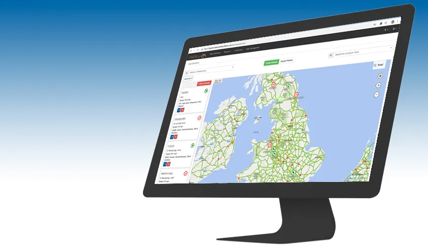
Real time vehicle tracking
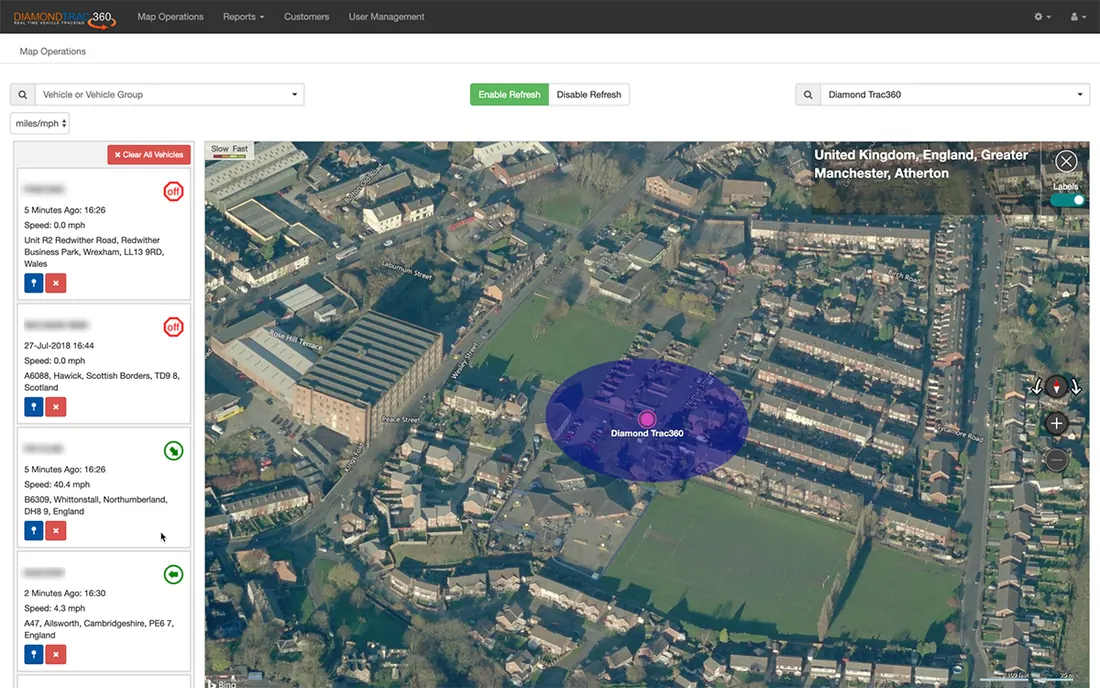
See the precise location of every vehicle in your fleet, updated every minute. The live map is the heart of the system: open it and you know where everything is, right now.
Once you can see your fleet, you can manage it. Late arrivals, unplanned stops and out-of-route vehicles show up as they happen, not at the end of the week.
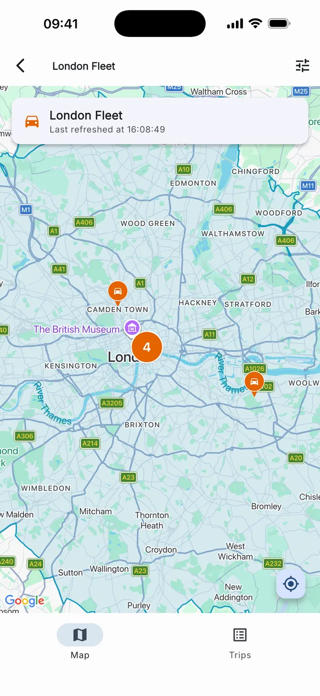
Free apps for iOS and Android
The free Diamond Trac360 app puts the whole system in your pocket: street-level, satellite and hybrid mapping, vehicle search and journey reporting, wherever you are.
The app was rebuilt from the ground up and is available for iPhone and Android. Clients use it to check the day's running from home, from site, or from the cab.
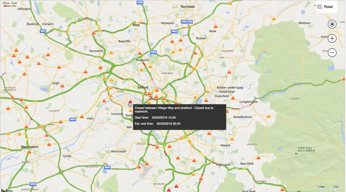
Intelligent, interactive maps
Five map styles, all with pin-point accuracy, and nothing to install: the mapping runs in any web browser.
The maps update constantly with roadworks, road closures, accidents and delays, so you can plan around problems before your drivers reach them.
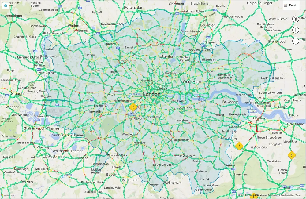
DVS zone overlay
Toggle London's Direct Vision Standard zones on or off with a single click. The overlay shades DVS boundaries under your live vehicle positions, so you can see at a glance which vehicles are entering regulated zones and plan routes accordingly.
Your preference is remembered between sessions.
Journey tracking
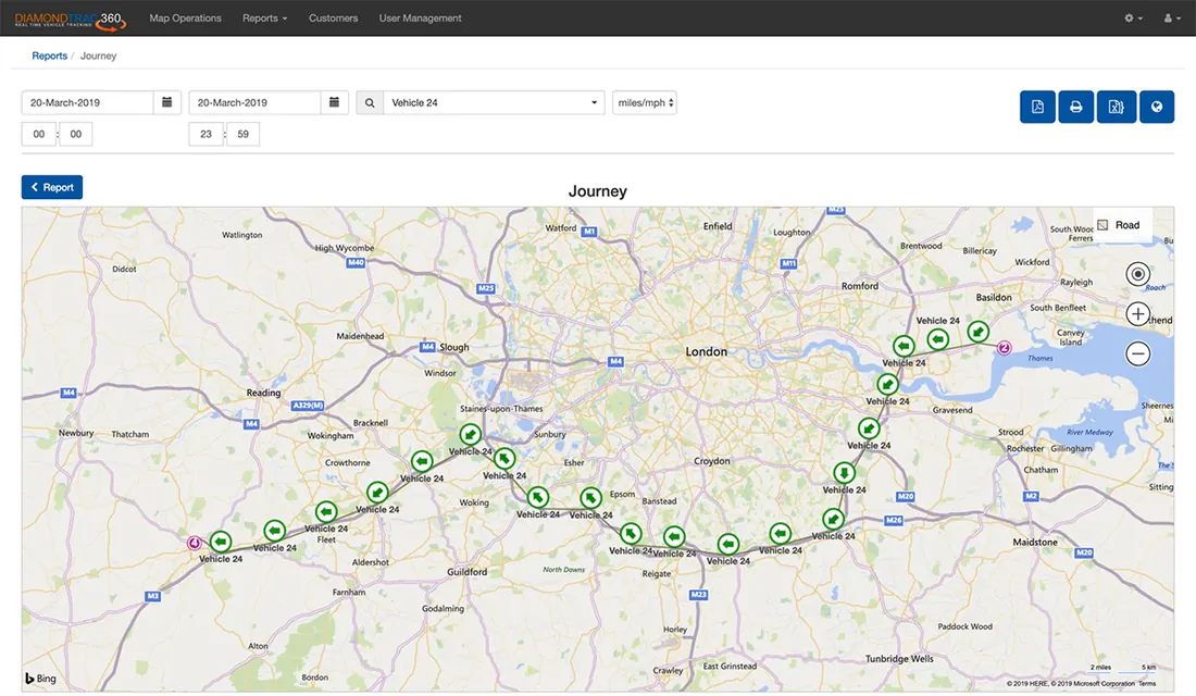
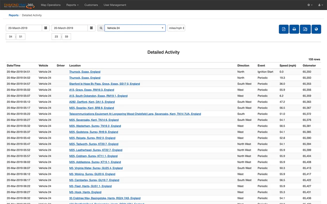
Review any historical journey as a tabular report or as a snail trail drawn on the map. Every waypoint records the vehicle's status, date and time, direction of travel and speed.
The snail trail quickly shows whether routes are efficient and flags anything suspicious, which helps cut mileage and, in turn, fuel costs.
Exception reports: speeding, idling and excessive stops
When duty of care is a priority, the exception reports show you what is actually happening on the road: habitual speeding, aggressive driving, excess idling and stops that run too long.
The journey and stop-time reports also help you spot drivers at risk of fatigue and confirm that adequate rest breaks are being taken. Acting on this information improves road safety, cuts maintenance costs, boosts fuel efficiency and reduces your fleet's carbon footprint.
A full audit trail
The reporting suite confirms actual delivery and collection times, surfaces inefficiencies, automates mileage reporting and helps reduce driver and vehicle spend.
Reports are interactive: search, filter and export the data, or click through to see any report row plotted on the map at its exact location.
Vehicle groups
Running multiple business units, a mixed fleet or depots in different places? Group vehicles into distinct sets and view each cluster on its own map and in its own reports.
Picking the right vehicle with the right kit for a job gets quicker, and planning gets easier.
Custom points
Draw a virtual barrier around any location that matters to you: depots, customer sites, fuel stops, overnight parking, or places your vehicles should never be. You set the name, position and radius of each point, and add as many as you need.
Each point takes a colour of your choosing, tinting both the pushpin and its radius circle, so you can tell depots from customer sites at a glance. Reports then show exactly when vehicles arrived at and left each point, and for how long they stayed.
See it working with your fleet in mind
A demo takes less time than a lost morning ringing round your drivers.